Intro
This portfolio brings together a set of spatial analysis and web mapping projects developed through open-source GIS workflows. The projects move from desktop GIS fundamentals into programmatic analysis, spatial databases, OpenStreetMap processing, and client-side WebGIS development.
The work demonstrates practical skills in version control, repository documentation, cloud-based development environments, spatial data processing, SQL-based geospatial analysis, Python scripting, and browser-based interactive mapping. Together, these projects show how GIS workflows can be organized, documented, and shared using GitHub as both a development environment and a public-facing technical portfolio.
Work
QGIS tutorials portfolio
Desktop GIS workflows covering projections, attribute management, raster and vector analysis, spatial queries, joins, and cartographic map production.
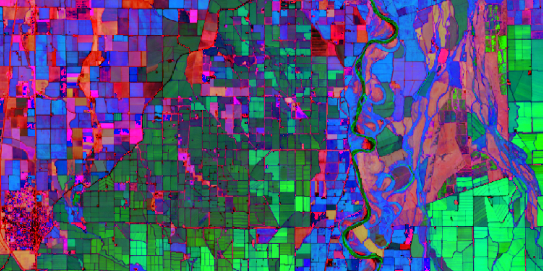
Python for GIS: pandas, GeoPandas, and Rasterio
Structured geospatial analysis workflows in Python, integrating tabular, vector, and raster processing with reusable code, notebooks, and automated testing.
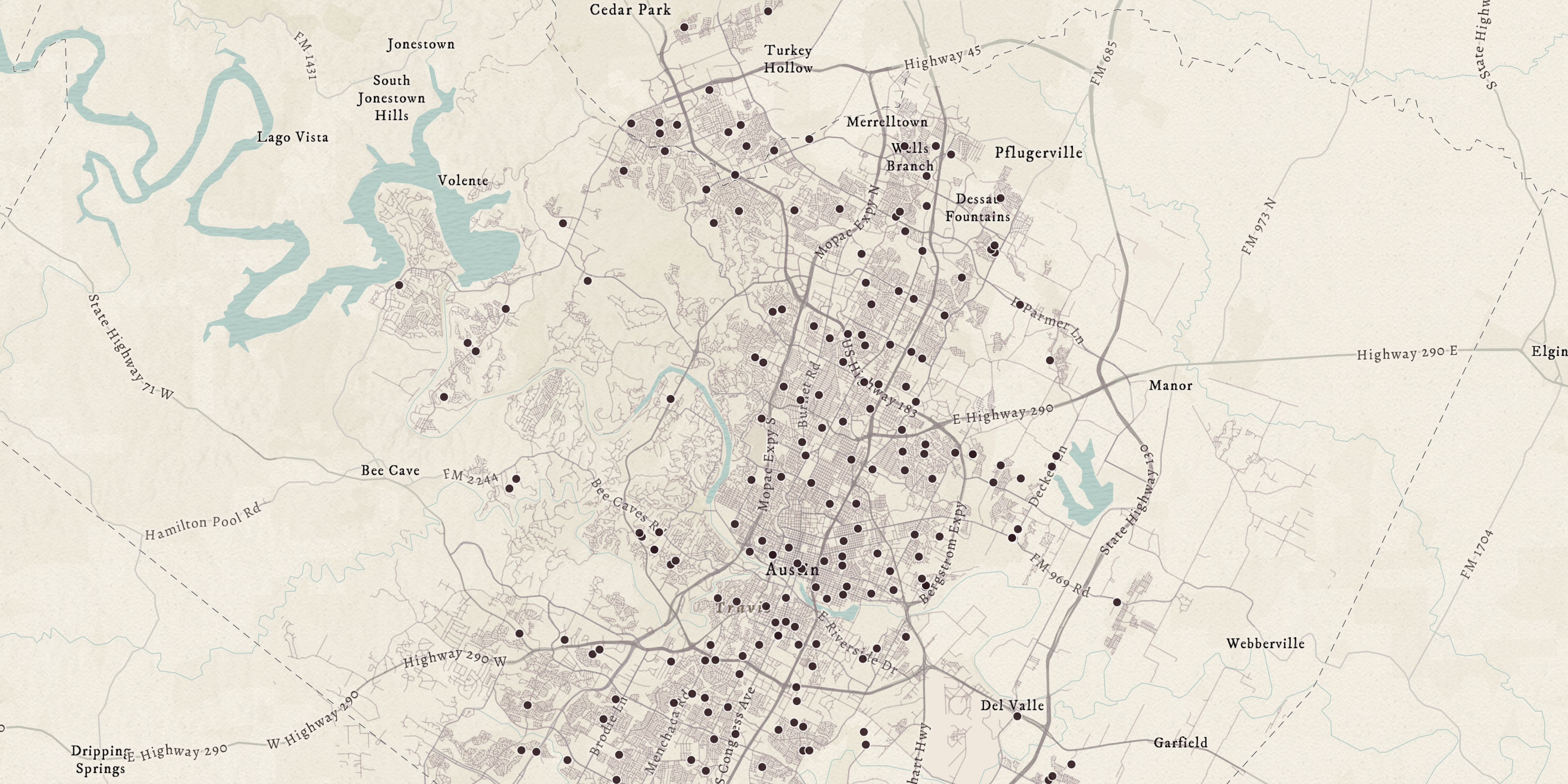
PostGIS spatial database workflows
SQL-based spatial analysis in PostgreSQL/PostGIS, including geometry operations, spatial relationships, joins, and database-driven GIS workflows.
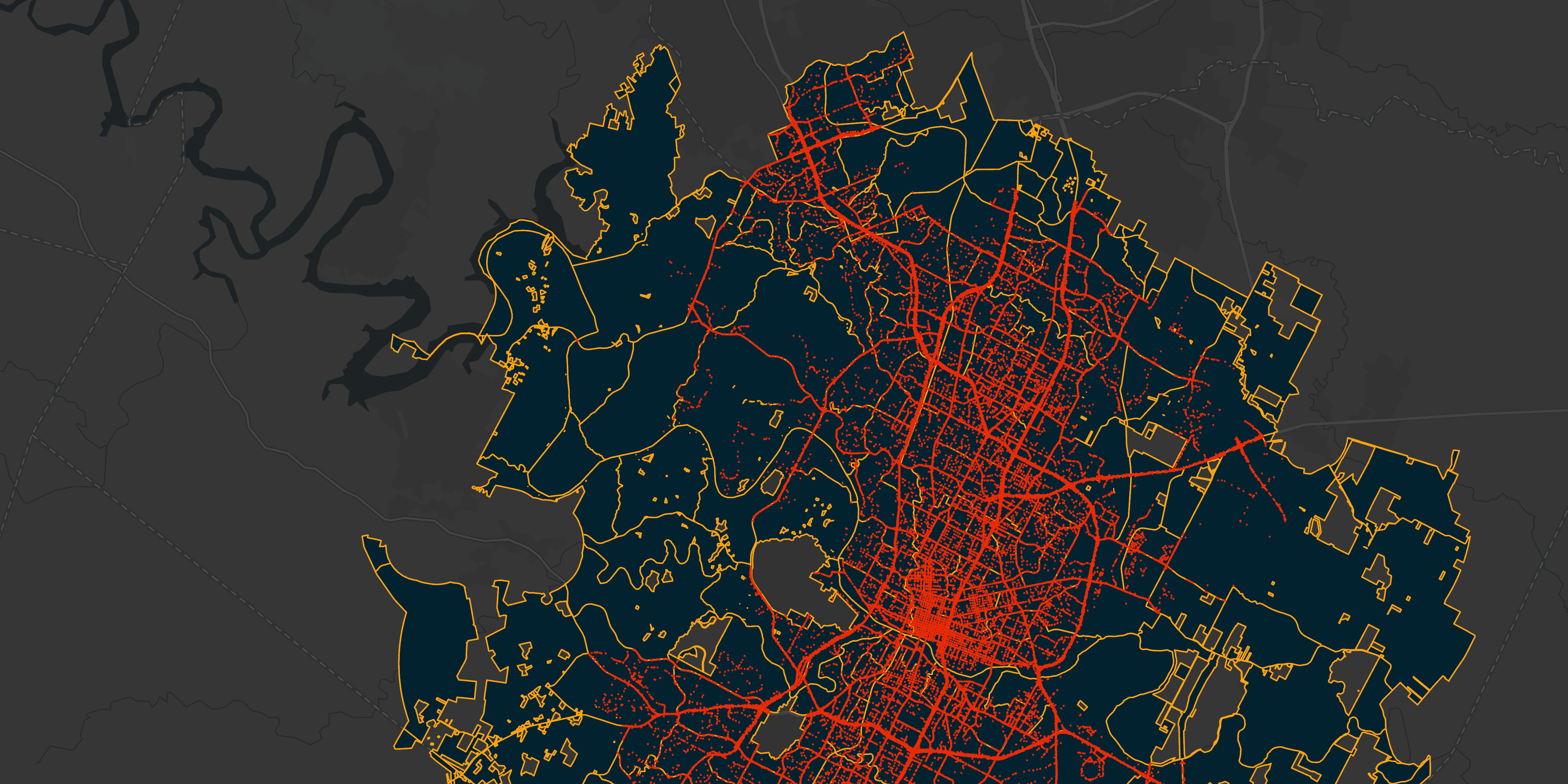
OpenStreetMap & PostGIS spatial analysis
An end-to-end workflow combining Python, PostGIS, and OpenStreetMap data for reproducible spatial analysis, query execution, and interpretation.
WebGIS with Leaflet: Boston park features, bike network, and neighborhoods
A client-side web mapping application using Leaflet, HTML, CSS, JavaScript, and GeoJSON to visualize and interact with spatial datasets in the browser.
About
I work at the intersection of digital systems and spatial thinking, where user behavior meets landscapes and real-world context.
With a background in web strategy and a growing focus on geospatial analysis and remote sensing, I build workflows that integrate spatial data, analysis, and visualization across desktop GIS, Python, spatial databases, and web mapping. My work emphasizes clarity, usability, and reproducibility across technical GIS workflows.
Skills
- QGIS desktop mapping, styling, joins, spatial queries, and raster/vector workflows
- Python geospatial analysis using pandas, GeoPandas, Rasterio, and Jupyter Notebooks
- PostgreSQL/PostGIS spatial SQL, geometry operations, spatial joins, and database workflows
- OpenStreetMap data processing and analysis with PostGIS and Python
- Client-side WebGIS development using Leaflet, HTML, CSS, JavaScript, and GeoJSON
- Git, GitHub, GitHub Pages, Codespaces, Docker, and VS Code
Links
For a complete view of my GIS work, including project context and documentation, visit my main site.